⛶
Autoplay
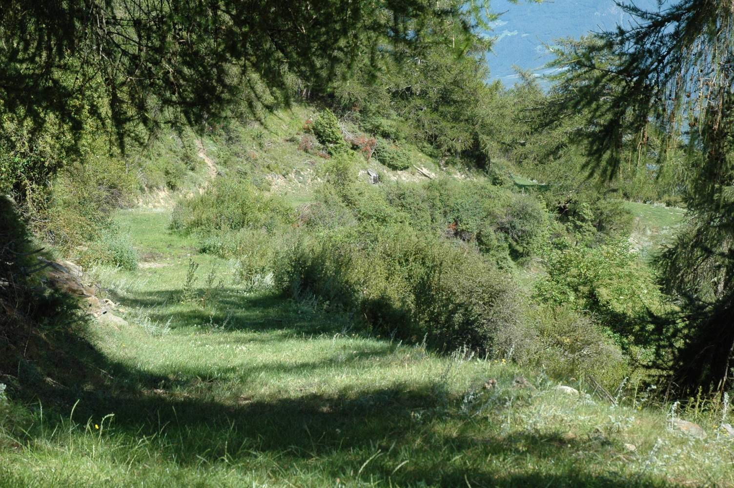
Angenehmer Wiesenweg. Wer ohnehin nach Schlanders absteigen will, kommt hier noch einmal voll auf seine Kosten.