⛶
Autoplay
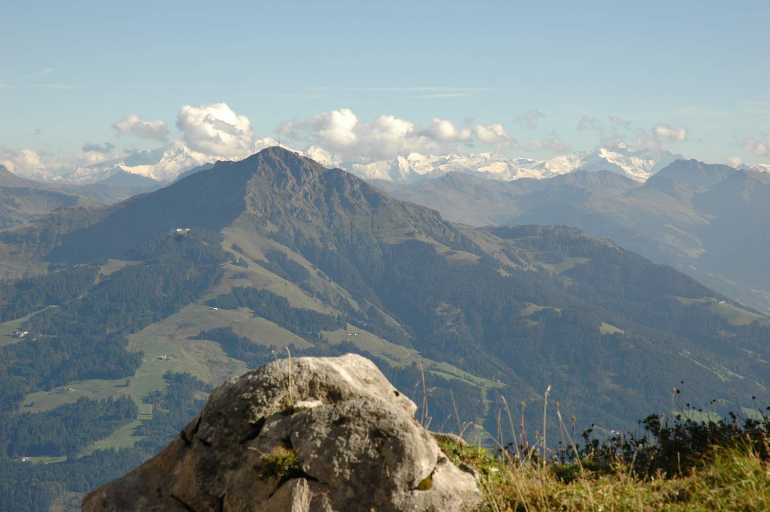
Kitzbüheler Horn. Dahinter die Hohen Tauern: die Klockerin (3422 m) direkt hinter dem Kitzbüheler Horn. Ganz rechts und etwas weiter weg der Großglockner (3798 m).