⛶
Autoplay
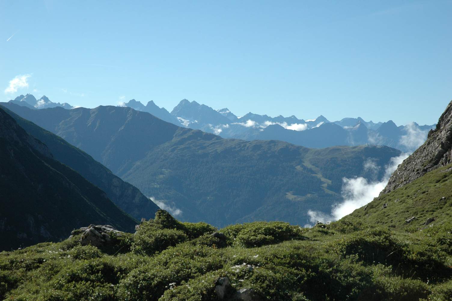
Blick über den Venet auf den Kaunergrat. Ganz links Gsallkopf (3277m) und Rofelwand (3353m), links der Mitte: Verpeilspitze (3423m), Schwabenkopf (3378m) und Watzespitze (3532m).