Autoplay
Wo ist das in OpenStreetMap?Wo ist das in GoogleEarth?Standpunkt als Waypoint als GPX-Datei herunterladen.
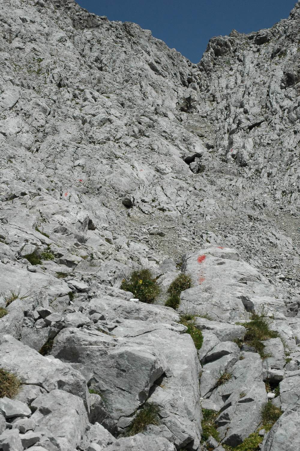
Aufstieg zum Maldongrat: weglose Schutthalde, kleine Klettereien inclusive.