Autoplay
Wo ist das in OpenStreetMap?Wo ist das in GoogleEarth?Standpunkt als Waypoint als GPX-Datei herunterladen.
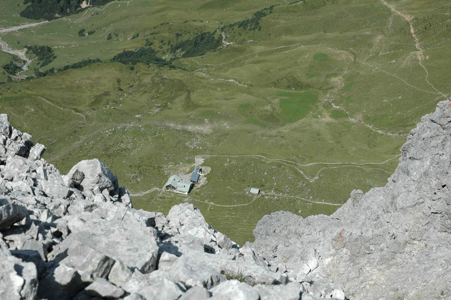
Und wieder die Anhalter Hütte, diesmal ca. 500 Meter tiefer.