Autoplay
Wo ist das in OpenStreetMap?Wo ist das in GoogleEarth?Standpunkt als Waypoint als GPX-Datei herunterladen.
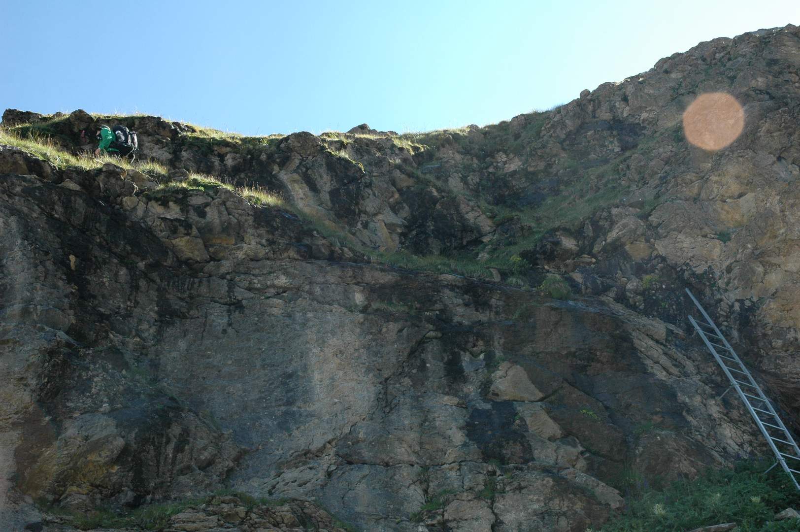
An der schmalsten Stelle überbrückt eine Leiter das Felsband.