Autoplay
Wo ist das in OpenStreetMap?Wo ist das in GoogleEarth?Standpunkt als Waypoint als GPX-Datei herunterladen.
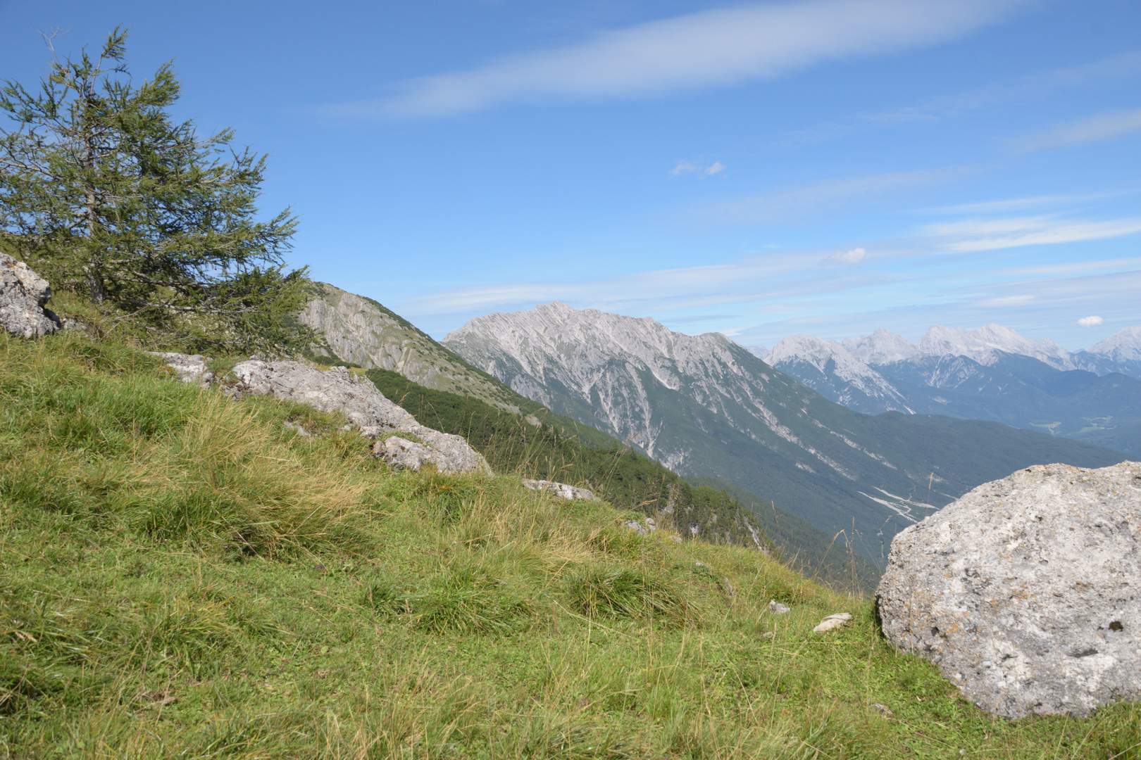
Rauchberg (2480 m) und rechts die Mieminger Berge.