⛶
Autoplay
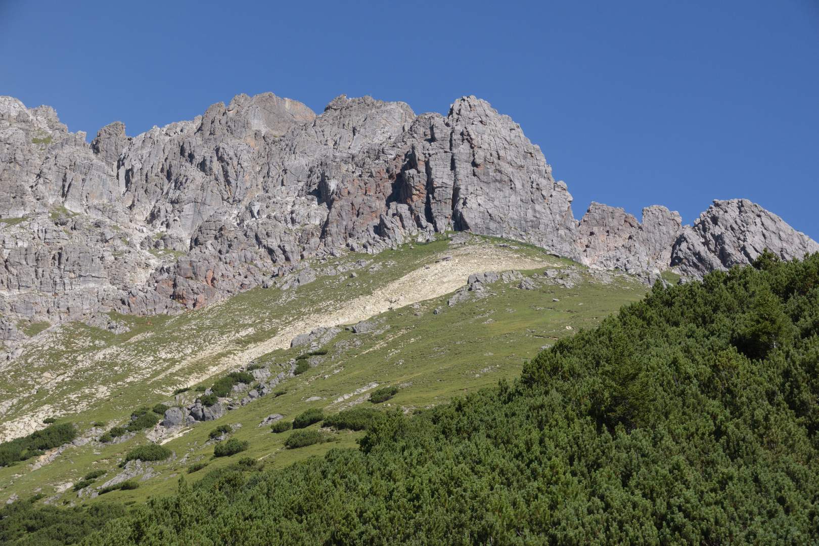
Vom Plattigsteig kann man die Vordere Platteinspitze (2562 m, Bildmitte) schon gut erkennen.